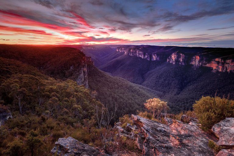
Charles Darwin described the Grose Valley as "stupendous… magnificent" when he visited in 1836. The rugged valley started forming about 50 million years ago after the uplift of the Great Dividing Range when the Grose River started flowing gently down towards the sea. The surrounding plateau sits at an elevation between 1000 and 1200m with the river descending 952 metres (3,123 ft) over its 54-kilometre (34 mi) course. The exposed cliffs along its banks range between 200 metres (660 ft) and up to 510 metres (1,670 ft) in height.
This shot was taken from Pearces Lookdown slightly west of Anvil Rock. The Greater Blue Mountains World Heritage Area covers 10,300 square kilometres (4,000 sq mi) of wilderness. The area obtained its name from the blue tinge visible in the deep valleys, which is thought to be caused by eucalyptus oil that evaporates and disperse in the air under elevated temperatures. Under these conditions the visible blue spectrum of sunlight propagates more than other colours causing the mountains to seem slightly bluish by human eyes. Blue Mouintains National Park, New South Wales, Australia
If you would like to learn a little bit more about my background in photography you can read the interview @photofeed did with me here
Robert Downie
Love Life, Love Photography
All images in this post were taken by and remain the Copyright of Robert Downie - http://www.robertdowniephotography.com
